
View these webinars on-demand by logging into the Member Center. If you are not a member, we encourage you to join.
On-Demand Webinars
View the list of all on-demand AGHP webinars that are available for instant viewing via the AGHP Member Center. All live webinar recordings are archived in the Member Center, along with a copy of the presentation slides. If you are interested in viewing any of the webinars listed below, we encourage you to become a member! Be sure to join our email list to be informed of live webinar events!
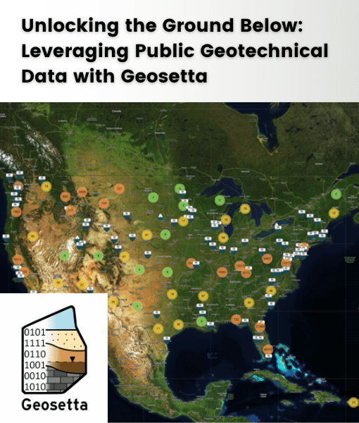
Unlocking the Ground Below: Leveraging Public Geotechnical Data with Geosetta
Learn about Geosetta, a nonprofit database of public geotechnical data. Discover how it can optimize your slope projects near infrastructure by accessing historical data from public agencies. Gain skills in using Geosetta for preliminary research, finding relevant data, and improving project accuracy. Explore real-life case studies showcasing Geosetta's benefits
Presented by: Ross Cutts, MSCE, PE
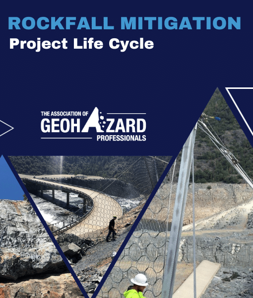
Rockfall Mitigation: Project Life Cycle
This webinar focuses on the rockfall mitigation project life cycle for the flexible rockfall barriers installed above the Hell Hole Dam spillway. The webinar summarizes the project activities from the initial slope investigation utilizing SPRAT rope access techniques and in-field/computerized rockfall simulations to the selection, design, and construction of the flexible rockfall barrier system. The webinar includes an overview of the post-rockfall barrier damage and repairs, a summary of LiDAR change detection following the rockfall events, and back-analysis rockfall simulations used to estimate the energy absorbed by the 5-meter-tall 2,000 kJ barrier during the 2022 rockfall strike that was initiated during the 2022/2023 winter when California was hit with multiple atmospheric rivers that caused widespread damage due to flooding, landslides, and rockfalls.
Presented by: Casey Smith, PG, CEG, SPRAT I
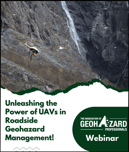
Unleashing the Power of UAVs in Roadside Geohazard Management
Roadside geohazards like avalanches and landslides threaten transportation networks globally. To address this, the Norwegian Public Roads Administration uses autonomous UAVs for efficient monitoring. The GEOSFAIR project focuses on remote decision support for avalanches, aiming to develop transferable methodologies for other hazards. This collaboration with research partners aims to test technology, establish best practices, and propose effective implementation recommendations.
Presented by: Sean Salazar, PhD, A.M.ASCE, Regula Frauenfelder, PhD., Tore Humstad, and Edward McCormack, PhD.
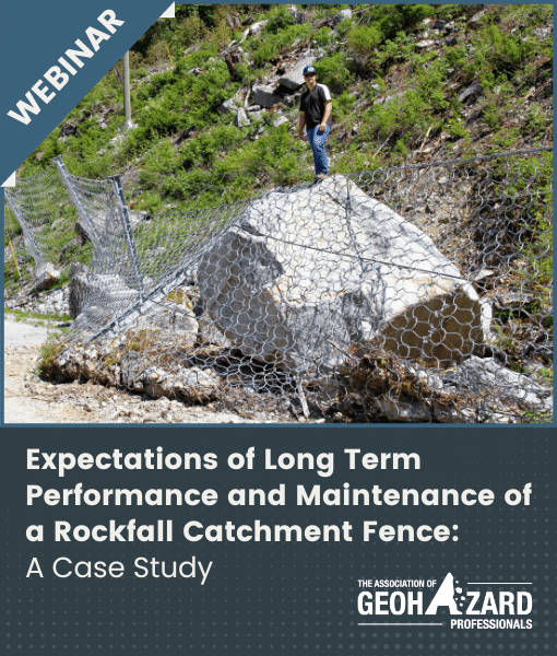
Expectations of Long-Term Performance and Maintenance of a Rockfall Catchment Fence: A Case Study
This webinar discussed rockfall catchment fences, structures designed to withstand impacts and deformations. In this case study, we tracked the 15-year performance of a 1000 kJ catchment fence, offering insights for owners and designers.
Presented by: Ahren Bichler, Ph.D.
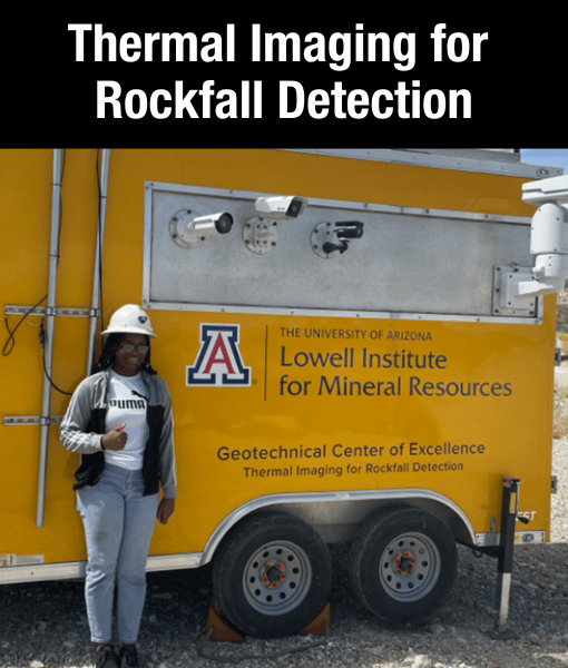
Thermal Imaging for Rockfall Detection
This webinar reviews the Geotechnical Center of Excellence’s NIOSH-funded research project to test the effectiveness of thermal imaging cameras in detecting and recording rockfall events in surface mining operations as a method to protect mine workers from the risk of rockfalls.
Presented by: Julia Potter, Ph.D. & Brad Ross, Ph.D.
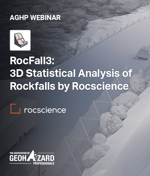
RocFall3: 3D Statistical Rockfall Analysis by Rocscience
This webinar provides an overview of the impact theories adopted for 3D rockfall analysis in RocFall3. The demo includes slope surface creation, material assignment by image segmentation, rock shape library, barriers, results interpretation using heatmaps & graphing, and multi-section export.
Presented by: Grace Huang, Ph.D.
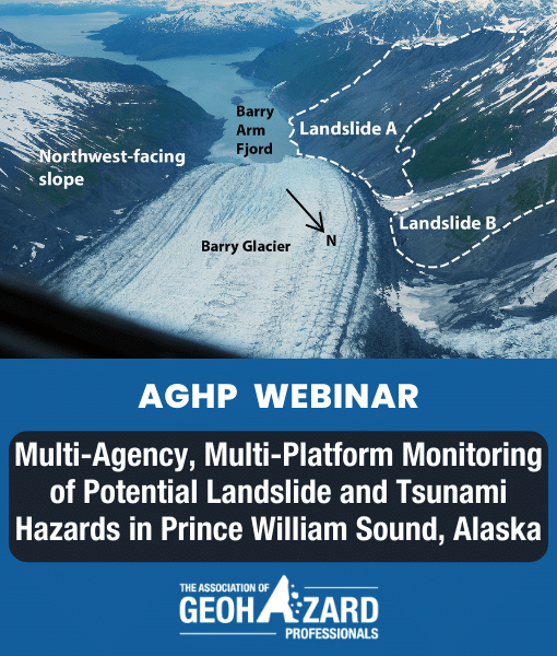
Multi-Agency, Multi-Platform Monitoring of Potential Landslide and Tsunami Hazards in Prince William Sound, Alaska
This webinar reviews the many resources and partnerships working together to characterize potential hazards resulting from landslides near the Barry Glacier, and efforts to understand tsunamigenic landslide hazards in the greater Prince William Sound.
Presented by: Lauren Schaefer, Research Geologist, Landslide Hazards Program, U.S. Geological Survey
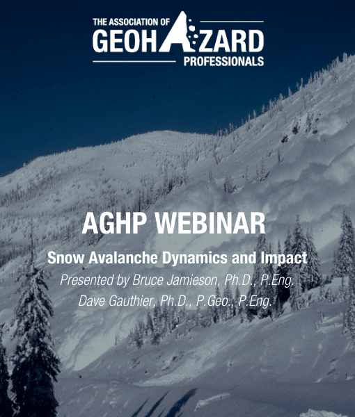
Snow Avalanche Dynamic and Impact
This webinar overviews snow avalanche dynamics and how avalanches develop their punch. This webinar also includes explanations of several videos of avalanches in motion. The Presenters compare the dynamics and impact of snow avalanches with other rapid slope hazards and outline a few mitigation options based on avalanche impact.
Presented by: Bruce Jamieson, Ph.D. & Dave Gauthier, Ph.D., P.Eng., P.Geo.
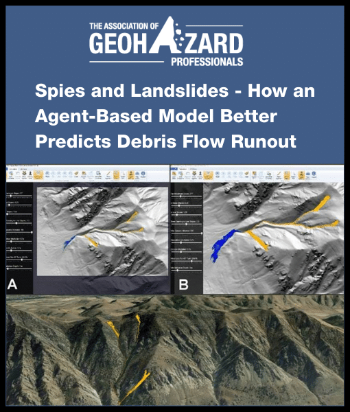
Spies and Landslides - How an Agent-Based Model Better Predicts Debris Flow Runout
This webinar introduces DebrisFlow Predictor, explains what an agent-based simulation is and why it works so well and provides case studies where DebrisFlow Predictor was successfully deployed. Additionally, a live video feed demonstrates LABS in action and discusses some of the pros and cons of deploying such a model.
Presented by: Richard Guthrie, MSc, PhD, MASME, PGeo
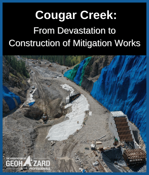
Cougar Creek: From Devastation to Construction of Mitigation Works
The 2013 floods in Alberta, Canada were devastating for many communities. In Canmore, extreme rainfall, exceeding 250 mm over three days, led to debris floods and debris flows that damaged homes, businesses, and infrastructure. This webinar shares the work and learnings undertaken by the Town of Canmore over the last several years.
Presented by: Félix Camiré, P.Eng.
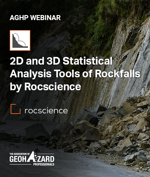
2D and 3D Statistical Analysis of Rockfalls by Rocscience
The webinar quickly reviews 2D theories before presenting the differences between 2D and 3D impact theories. The computed results are shared via a demo utilizing the upcoming Rocscience RocFall 3 software.
Presented by: Ellen Yeh
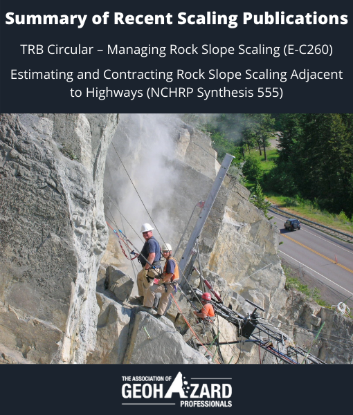
Summary of Recent Scaling Publications
This webinar summarizes two recent industry publications and discusses their outcomes.
- TRB Circular - Managing Rock Slope Scaling (E-C260)
- Estimating and Contracting Rock Scaling Adjacent to Highways (NCHRP Synthesis 555)
Presented by: Brent Black, RG, CEG; Darren Beckstrand, RG, CE; Benjamin George, PE, CEG
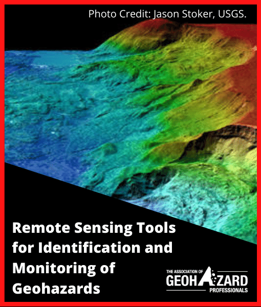
Remote Sensing Tools for Identification and Monitoring of Geohazards
To understand the future of remote sensing technology, one must first comprehend the industry’s evolution over the last 100-years. This webinar details the historical progression of sensing concepts and products, review the present commercially available platforms and forecasts the future developments that will identify, assess, and monitor geohazards more accurately and thoroughly than ever before.
Presented by: Josh Wagner
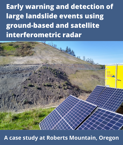
Early Warning and Detection of Large Landslide Events Using Ground-Based and Satellite Interferometric Radar - A case study at Roberts Mountain, Oregon
This webinar provides a look into using real-time ground-based interferometric synthetic aperture radar (GB-InSAR) system to successfully early warn on landslide movements prior to failure for use in safety critical scenarios. Located along Interstate 5, this Oregon Department of Transportation project included both interstate widening and landslide remediation.
Presented by: Cody Stopka, Jill DeKoekkoek, Pete Castro, and John Metzger
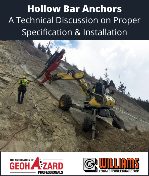
Hollow Bar Anchors - A Technical Discussion on Proper Specification and Installation
This webinar discusses details unique to the hollow bar system. The presenters cover recent research conducted through the Federal Highway Administration, emergence of the system in governing specifications, and discuss what seems to be the main issue with permanent hollow bar anchors: long-term durability.
Presented by: Tom Bird and Jeff Pendleton
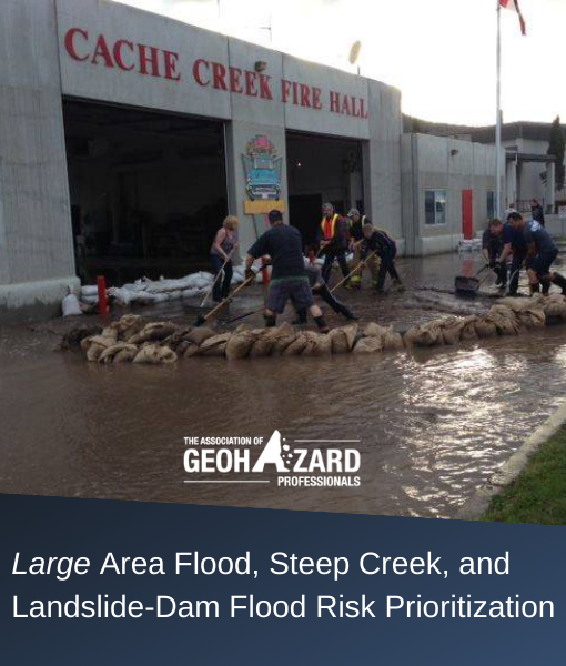
Large Area Flood, Steep Creek, and Landslide-Dam Flood Risk Prioritization
This webinar will present approaches to prioritize geohazard risk across large and typically data-scarce regions like British Columbia and discuss how their results support development planning, regulation, and emergency management.
Presented by: Kris Holm
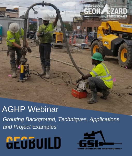
Grouting Background, Techniques, Applications and Project Examples
This presentation will discuss grouting basics and delve into the background behind various grouting techniques, pointing out design and planning considerations. Various project examples and operational tips and tricks will be discussed.
Presented by: Jarrod Hartshorn and Damien Bosse
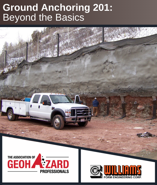
Ground Anchoring 201: Beyond the Basics
This webinar will provide an overview of commercially available anchoring products & their typical applications. Furthermore, the webinar will focus on important technical aspects of anchor design and selection including Specification Compliance, Geotechnical Design Considerations, Mechanical Properties, Longevity & Corrosion Protection, Anchor Economics & Practical Commentary that reflect the current state of practice in ground anchoring.
Presented by: Tom Bird and Pete Speier
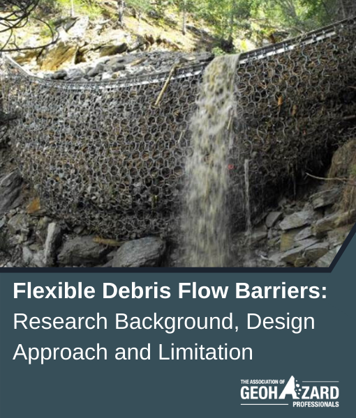
Flexible Debris Flow Barriers: Research Background, Design Approach, and Limitation
Debris Flow Barriers are containment systems that can be designed and dimensioned to withstand the high dynamic loads of channelized debris flows and shallow landslides. This Webinar takes a close look at what’s commonly known about debris flow behavior, the critical parameters, the load concept, and design considerations when selecting a mitigation solution.
Presented by: Nadine Feiger and Saleh Feidi
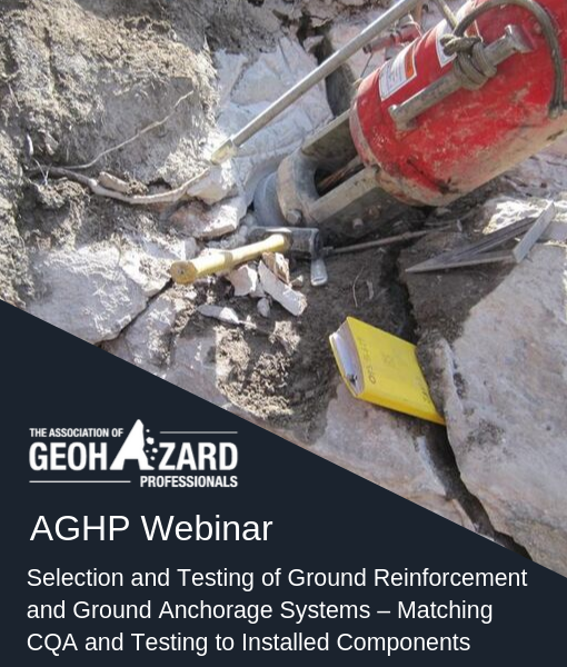
Selection and Testing of Ground Reinforcement and Ground Anchorage Systems - Matching CQA and Testing to Installed Components
Ground anchors and ground reinforcement members are often constructed of similar materials; despite their difference in loading and function. This webinar discusses PTI testing, anchor components, testing of complex & simple anchors, and the applicability of such testing to rock reinforcement such as tensioned Rock Bolts and passive Rock Dowels.
Presented by: David Scarpato, PE, Martin Woodard, Ph.D., P.G., PE, Peter C Ingraham, PE
RocFall: Statistical Analysis of Rockfalls by Rocscience
This webinar introduces Rocscience’s 2D statistical analysis program RocFall. The software simulates rockfall energy, velocity and ‘bounce height’ along a slope profile to assist in rockfall risk assessment and mitigation design. A RocFall model is developed with a focus on barrier/berm analysis, barrier sensitivity analysis, and design reports.
Presented by: Ellen Yeh
Geohazard Mapping and Monitoring - The Road to Proactive Engagement and Solution Provision
This webinar presents current trends and technologies in multi-instrument data acquisition, analysis and reporting in the geotechnical asset and geohazard fields. These include UAS, LiDAR, Photogrammetry, GbSAR, SatSAR, Microseismic, DFOS, and GNSS. Practice suggestions are presented for realizing the benefits of multi-sensor acquisition deliverables, and the mapping and monitoring benefits that result.
Presented by: Pieter Bas Leezenberg, Paolo Mazzanti, and John Metzger
Sediment and Large Wood Trapping Structures: Best Design and Functional Approach
Sediment and large wood trapping structures used in debris-flows and debris-flood mitigation schemes are described in this webinar. The driving mechanisms of deposition and erosion processes at the fan scale and at the structure scale are introduced to assist engineers in selecting the best type of structure for a given site and to design its shape and geometry.
Presented by: Guillaume Piton, Ph.D.

Snow Avalanche Risk Assessment and Mitigation
This webinar identifies aspects of snow avalanches that differ from other geohazards and how this affects assessment and mitigation methods. Selected methods for characterizing avalanche terrain and extreme snow avalanches are outlined, and examples of assessment and mapping methods are presented, along with mitigation methods that include structural defences and remote avalanche triggering.
Presented by: Bruce Jamieson, PhD., P.Eng and Chris Wilbur, P.E.