
View this webinar on-demand by logging into the Member Center. If you are not a member, we encourage you to join.
Unlocking the Ground Below: Leveraging Public Geotechnical Data with Geosetta
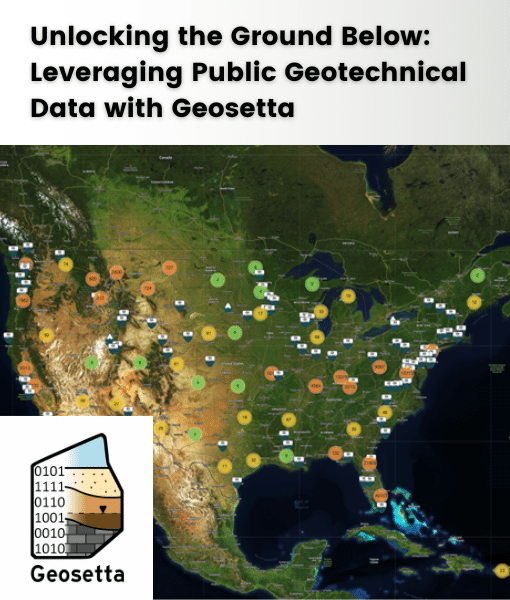
Join us for an insightful webinar on the benefits of Geosetta, a nonprofit repository of public geotechnical data. Discover how accessing decades of historical data from public agencies can transform your desktop studies and reconnaissance for slope projects adjacent to roadways and other vital infrastructure. Learn to leverage existing boring data to enhance project accuracy and efficiency.
Learning Objectives:
- Understand how Geosetta’s extensive geotechnical database can streamline your preliminary research and planning stages.
- Gain proficiency in navigating the repository to find relevant data for slope stability assessments near infrastructure.
- Explore case studies demonstrating the practical applications of Geosetta data in enhancing project outcomes.
Presented By:

Ross Cutts, MSCE, PE
Ross Cutts is a licensed Professional Engineer (PE) with a decade of specialized experience in geotechnical engineering. During his tenure at the Maryland Department of Transportation, Ross spearheaded innovative initiatives to harness historic geotechnical data, enhancing it with machine learning techniques to drive better project outcomes. Recognizing the broader implications of accessible data in the field, he founded Geosetta—a pioneering repository providing shared access to public geotechnical data. His vision for Geosetta is to empower engineers nationwide with the resources needed to make informed, data-driven decisions for infrastructure projects, thereby advancing the legacy of the geotechnical profession.