View this webinar on-demand by logging into the Member Center. If you are not a member, we encourage you to join.
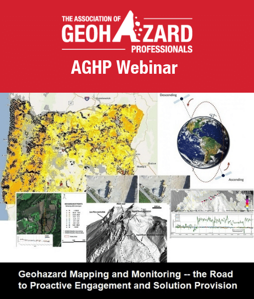
Geohazard Mapping and Monitoring: The Road to Proactive Engagement and Solution Provision
Across the geotechnical asset and geohazard fields, we see exciting, progressive, and value-adding technologies applied in an integrated manner; this is a recent development. Previously, vertical-type data acquisitions limited efforts at data sharing.
Projects and data analysis results offer added value with multi-instrument acquisitions and reporting products. Different instrument platforms, including UAS, LiDAR, Photogrammetry, GbSAR, SatSAR, Microseismic, DFOS, and GNSS, offer integrated data export, import, and portal-type presentation, event, and project management opportunities.
This effort is driven by consulting companies, vendors, and demand from clients and agencies, for horizontal benefits with integrated data results, and interactive access. Key to this integration, aside from the need for vendors, consultants, principals, and clients to support these extended data interactions, are new opportunities for geo-professionals to acquire, manage, and support event management and project deliverables.
This webinar will present current trends, data results, and practice suggestions that may create or introduce you to the benefits of multi-sensor acquisition deliverables, and the mapping and monitoring benefits that result.
Presented By:

Pieter Bas Leezenberg
Chief Executive Officer & Co-Founder, SkyGeo
Pieter is the CEO and co-founder of SkyGeo. He leads the overall company strategy and direction. Pieter is an entrepreneur who has held executive roles in early stage technology companies, developing new products for enterprise customers in the last 2 decades. He started his career as a geologist at Shell, in the Research division of IBM and subsequently as an engineer in the advanced technology and Maxtor Corp, where he participated in the IPO. Pieter holds a B.Sc. in Geology from the Free University in Amsterdam and a M.Sc. and Ph.D. in Materials Science and Engineering from Stanford University.

Paolo Mazzanti
CEO and founding member, of NHAZCA & Professor of Remote Sensing at the Department of Earth Sciences of the “Sapienza” University of Rome.
NHAZCA – (Natural HAZards Control and Assessment) is a Spin-off company of the “Sapienza” University of Rome, an international leader in the analysis and monitoring of natural risks and major works for management and risk reduction purposes. NHAZCA provides specialist advice in the fields of geology, geotechnics, civil engineering, and cultural heritage through innovative remote sensing and monitoring techniques, developed also thanks to the constant collaboration with the CERI Research Center of the “Sapienza” University of Rome, with IMG Srl ( founding member) and with prestigious institutions such as the European Space Agency. NHAZCA is a reference partner for numerous organizations and companies operating in the field of land management and planning, civil protection, oil & gas, exploitation of mineral resources, large infrastructures and conservation of architectural and monumental heritage.

John Metzger
Business Development Technologist, IDS GeoRadar NA