
View this webinar on-demand by logging into the Member Center. If you are not a member, we encourage you to join.
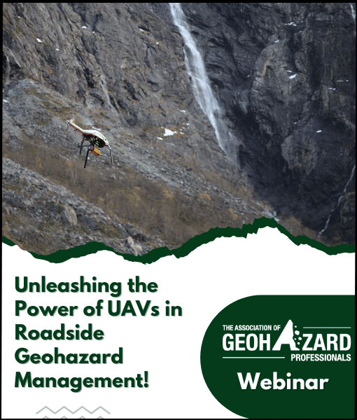
Unleashing the Power of UAVs in Roadside Geohazard Management!
Roadside geohazards, such as avalanches, landslides, and rockfalls, pose significant threats to transportation networks and road users worldwide. The economic costs of roadway closures and the impact on critical transportation reliability have led to the exploration of innovative solutions. In response to these challenges, road owners and operators, like the Norwegian Public Roads Administration, are turning to cutting-edge technology: autonomous Uncrewed Aerial Vehicles (UAVs).
UAVs have emerged as powerful allies in monitoring and evaluating geohazards, offering numerous advantages over traditional methods. Notably, they overcome technical and logistical challenges associated with data collection in exposed and inaccessible areas. While crewed helicopters have been the preferred choice for airborne surveys, UAVs reduce the need for helicopter flights, resulting in time and cost savings, decreased risk, and lower environmental impact. As a result, UAVs have become invaluable tools for emergency responders, practitioners, and researchers alike, deployed to document events like slides and rockfalls, map geomorphological changes, and monitor developing hazards. Furthermore, UAVs are now poised to become essential assets in the decision-making toolbox of road owners, guiding critical choices such as closing or reopening mountain roads threatened by avalanches or other hazards.
Delving deeper, the Norwegian Public Roads Administration is leading a pioneering public sector innovation project called Geohazard Survey from Air (GEOSFAIR). This project focuses on remote decision support by UAV, with a specific emphasis on avalanche applications. The GEOSFAIR project aims to develop effective methodologies for collecting and integrating UAV data into geohazard risk assessments while considering both technological specifications and decision-making requirements. Although the primary focus is on snow avalanches, the methods developed through GEOSFAIR will be transferable to other natural hazards that affect the reliable operation and maintenance of transportation networks, such as landslides and rock avalanches. The collaboration between the Norwegian Public Roads Administration and research partners, the Norwegian Geotechnical Institute and SINTEF, seeks to test cutting-edge technology, develop best practices, and propose recommendations for effective implementation.
Presented By:

SEAN E. SALAZAR, Ph.D., A.M.ASCE
Senior Research Engineer at the Norwegian Geotechnical Institute in Oslo, Norway
Sean is a senior research engineer at the Norwegian Geotechnical Institute in Oslo, Norway. His research interests include applied remote sensing from satellites and UAVs, and 3D modelling methods for geohazards.

REGULA FRAUENFELDER, Ph.D.
Technical Expert at the Norwegian Geotechnical Institute in Oslo, Norway
Regula is a technical expert at the Norwegian Geotechnical Institute in Oslo, Norway. Her interests include remote sensing and geo-informatics, with a special focus on natural hazards, and cryospheric sciences and research studying permafrost, snow, and ice.

TORE HUMSTAD
Chief Engineer and Engineering Geologist at the Norwegian Public Roads Administration
Tore is a chief engineer and engineering geologist at the Norwegian Public Roads Administration, where he’s responsible for development of geohazard monitoring and warning services. He leads the GEOSFAIR Innovation Project for the Public Sector.

EDWARD McCORMACK, Ph.D.
Research Associate Professor at the University of Washington & Associate Professor at the Norwegian University of Science and Technology
Edward is a research associate professor at the University of Washington in Seattle and an associate professor at the Norwegian University of Science and Technology. His research interest is in evaluating technology to support transportation mobility, including exploring the use of UAVs to monitor roadside snow avalanche risk since 2008.