News
Corporate Member Profile: Gannett Fleming

Wherever geohazards occur, whatever the terrain, Gannett Fleming’s geoprofessionals combine a passion for exploring the outdoors with scientific principals and state-of-the-art technology to create a safer tomorrow.
From an emergency landslide along a highway in Pennsylvania to earthquake fault studies in California, our geoprofessionals have successfully mitigated countless geohazard challenges across North America for more than one hundred years. As a mid-sized firm, clients benefit from our total integration approach, allowing us to support projects from the initial investigation through execution, including construction management.
To augment standard geotechnical and geological investigation methods, we commonly use surface and borehole geophysical methods to identify adverse soil, rock, discontinuity, and groundwater conditions. In addition, we use UAV- and ground-based static LiDAR, and photogrammetry techniques to generate accurate digital terrain models and complex 3-D surfaces that are used to develop topographic contours and cross sections. This data is used to perform detailed slope stability analyses, run rockfall simulations, and generate quantity estimates.
We also rely on our certified rope access teams to provide a unique, cost-effective option for safely accessing geologic features that cannot otherwise be reached using conventional equipment or drones. Comprised of licensed engineers and geologists certified to Society of Professional Rope Access Technicians (SPRAT) standards, our teams use specialized equipment that meets or exceeds ANSI, OSHA, and Cal-OSHA safety requirements.
Gannett Fleming is a global infrastructure firm that provides planning, design, technology, and construction services for a diverse range of markets and disciplines. With 2,600 highly qualified individuals across a global network of 60 offices, we are united in our passion to deliver excellence. We have played a part in shaping infrastructure and improving communities in more than 65 countries, specializing in transportation, earth science, water, power, geospatial, and facility-related projects.
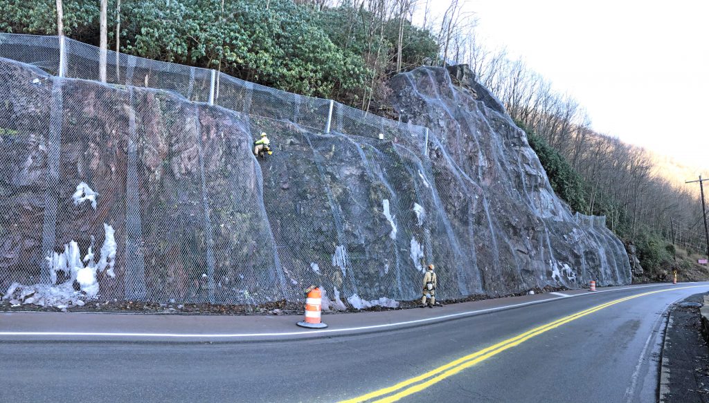
Hybrid elevated rockfall barrier and drapery system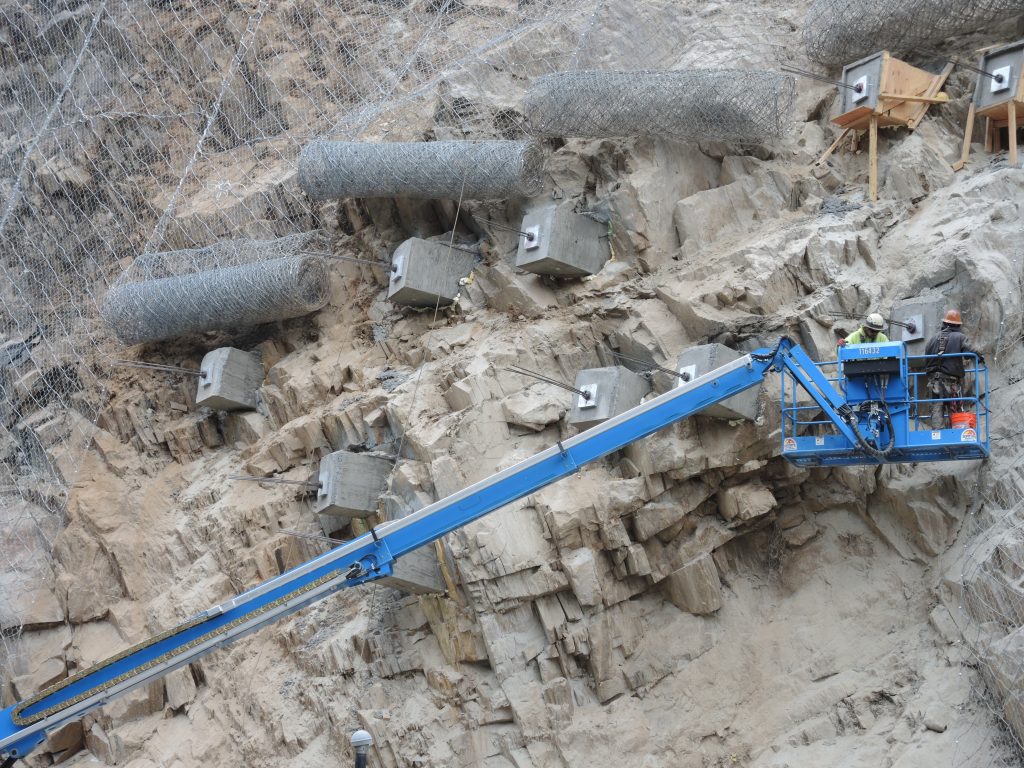
Strand anchor testing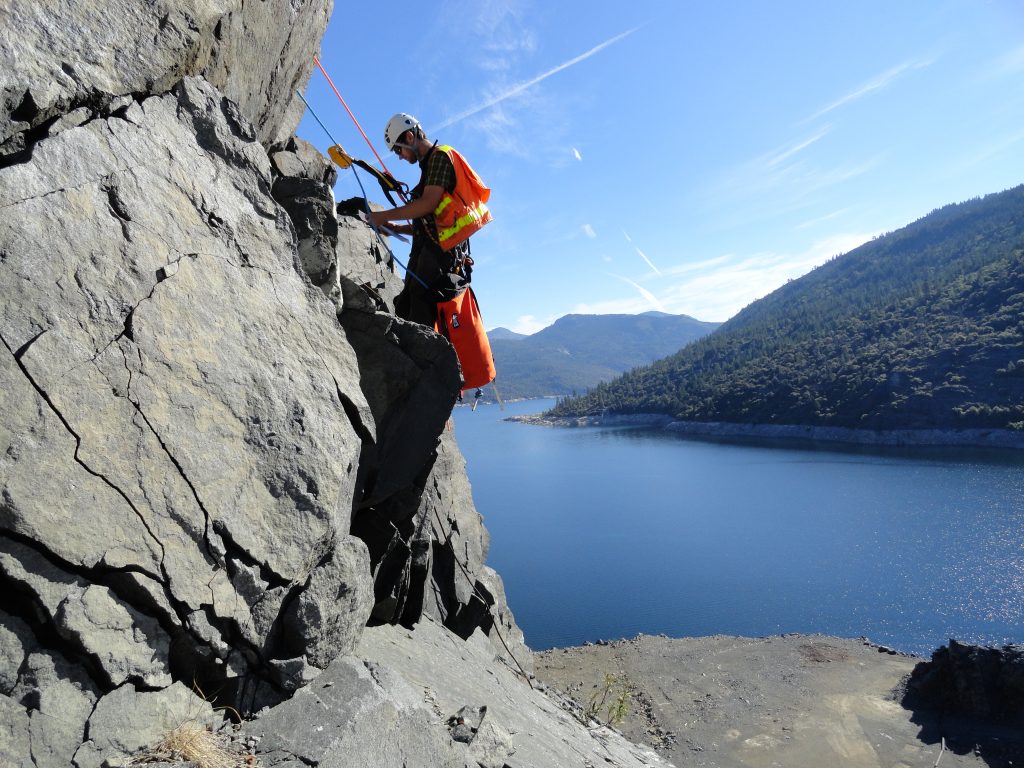
Dam spillway slope reconnaissance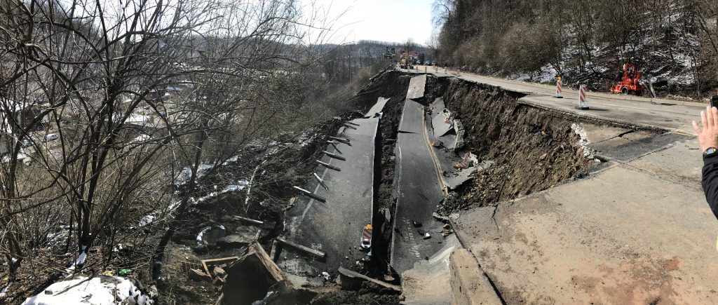
Route 30 landslide
