
Access these webinars on-demand via logging into the Member Center/Webinar Portal if you are a current AGHP Member. Not a Member? Join the AGHP to gain instant access to these on-demand webinars.
AGHP On-Demand Webinars

April 8, 2026
This panel explored early-career pathways in geohazards and geological engineering, offering practical insights for students and recent graduates entering the workforce. Panelists from academia, government, and industry shared perspectives on navigating diverse career paths, the value of advanced degrees and licensure (P.G. & P.E.), and the realities of field work and work-life balance. The session provided key steps and advice for building a career in these evolving fields, including practical guidance on developing technical skills and resumes and cultivating professional networks.
March 23, 2026
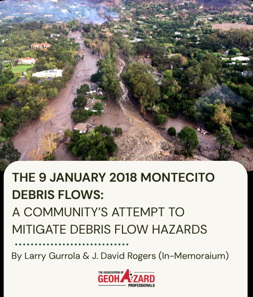
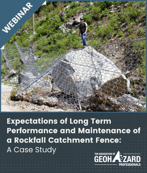
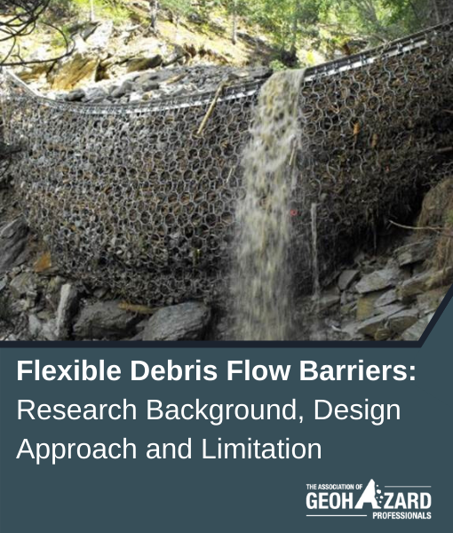
On January 9, 2018, catastrophic debris flows struck Montecito, California, claiming 23 lives, damaging or destroying over 500 homes, and causing nearly $1 billion in losses. This webinar examines the geologic and environmental factors behind the event, including the role of post-wildfire conditions in increasing debris flow risk. Drawing on more than 40 documented events since 1825, the session explores recurrence intervals, ongoing vulnerability in the region, and the performance of mitigation measures such as debris basins and nets. It provides a data-driven look at one of the most significant debris flow disasters in modern U.S. history and highlights key considerations for future risk reduction.
November 10, 2025
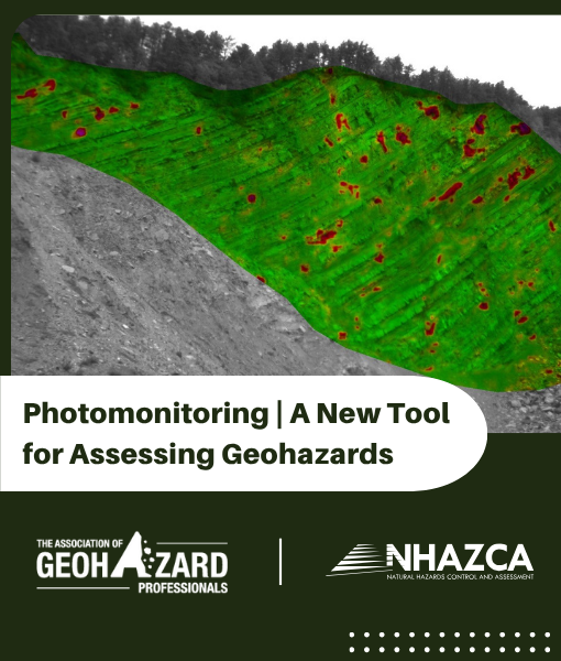
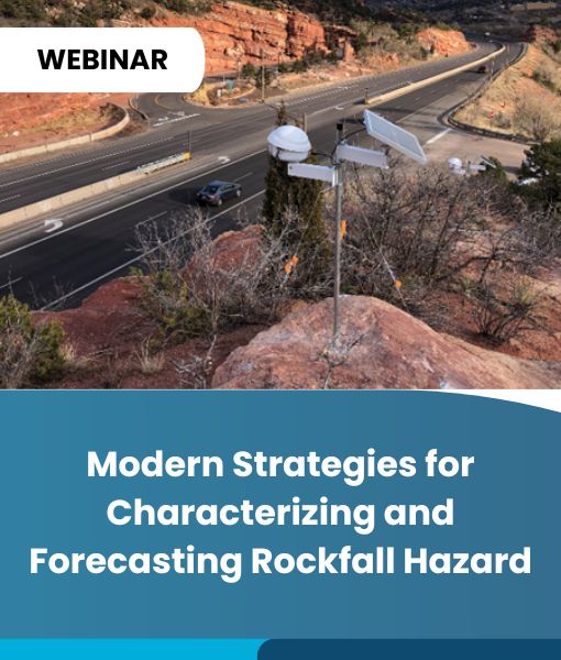
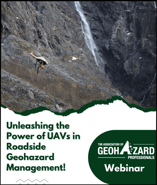
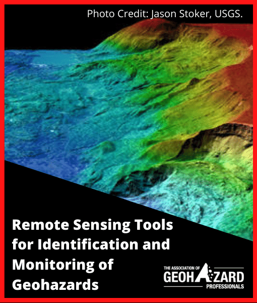
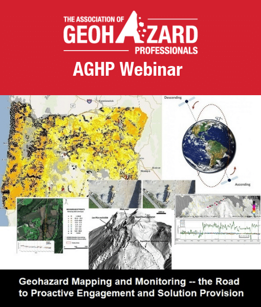
Remote monitoring can now be achieved through Satellite InSAR, Terrestrial InSAR, Photogrammetry, LIDAR, and AMTS. A newer option—Photomonitoring—offers users an additional and often more affordable solution. This presentation will outline the advantages and limitations of traditional remote sensing methods alongside Photomonitoring, with emphasis on practical applications. Case histories will demonstrate Photomonitoring using ground-based cameras, drones, and satellite imagery across various scenarios, including slow-moving landslides, rockfalls, and underground tunnel monitoring.
October 1, 2025
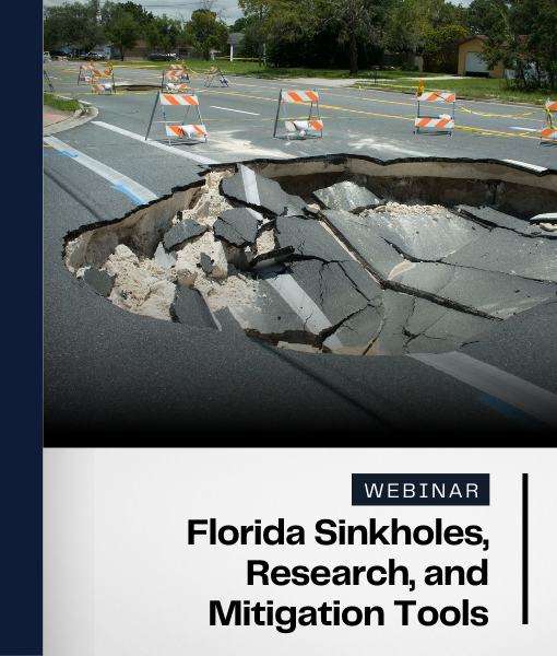
Florida is well known around the world for its karst landscape and sinkholes. Like hurricanes, sinkholes are natural hazards that pose a risk to the state. Unlike hurricanes, you can’t see sinkholes coming. As such, the Florida Geological Survey has conducted extensive data collection and research on sinkholes in order to educate the public about sinkholes and provide tools supporting mitigation. This webinar will educate you on Florida’s karst landscape, the types of sinkholes present, and the problems they can cause. Finally, we will discuss the research and tools produced by the Florida Geological Survey to help mitigate the effects of sinkholes.
July 7, 2025
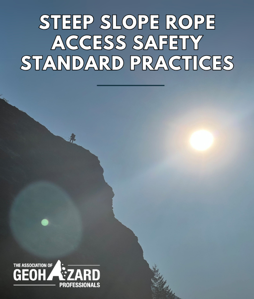
Rope access is a specialized work positioning system derived from climbing and caving techniques, enabling safe access to hard-to-reach areas without scaffolding. Common in geotechnical work, it’s used for tasks like geologic reconnaissance, rock scaling, and installing anchors or slope netting. With proper training, equipment, and oversight, rope access offers a safe, efficient solution for steep slope work. This webinar covered key safety standards and best practices, focusing on fall risks from equipment failure, hazards from falling objects, the importance of proper training and competency, and minimum standards for steep slope rope access.
May 20, 2025
December 9, 2024
November 21, 2024
September 26, 2024
May 15, 2024
January 24, 2024
November 29, 2023
November 1, 2023
December 15, 2022
November 17, 2022
May 25, 2022
April 28, 2022
December 13, 2021
December 1, 2021
October 28, 2021
April 22, 2021
February 25, 2021
January 28, 2021
November 24, 2020
July 30, 2020
June 18, 2020
March 19, 2020
November 14, 2019
September 18, 2019
July 15, 2019
March 14, 2019
