
Integrated 3D Block Stability and Rockfall Assessment in RocSlope3 and RocFall3
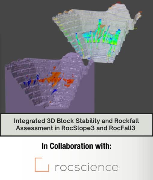
Rockfalls, particularly those stemming from structurally controlled failures, could be mapped for hazards by identifying their likely origins and block sizes. The mapping process began with geological surveys of block-forming fractures and 3D slope geometry. Using RocSlope3, a 3D block stability analysis program developed by Rocscience, blocks were determined based on specific discontinuities, and the 3D limit equilibrium method assessed the safety factors for various failure modes. These failure locations informed rockfall origins, which were analyzed in RocFall3 for statistical simulations. The workflow included constructing 3D slopes, integrating tools like ShapeMetrix and Dips, calculating safety factors, and interpreting results for both rockfall protection and slope stabilization. A demo showcased these processes in both RocSlope3 and RocFall3.
Presented by: