
View this webinar on-demand by logging into the Member Center. If you are not a member, we encourage you to join.
A misunderstood disaster: The Frank Slide of 1903
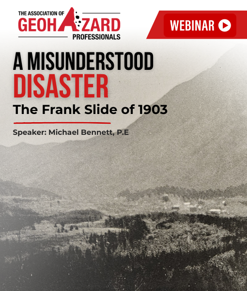
The Frank Slide roared down Turtle Mountain in southwest Alberta on April 29, 1903, killing roughly 90 people. Historical and geotechnical evidence reveals a more nuanced, but equally dramatic, account than the commonly told narrative. The mountain’s formation left a strong yet heavily jointed limestone layer overlying weaker sedimentary strata, all sharply folded into an anticline. Coal mining at the mountain’s base in the late 1890s likely further destabilized this already fragile structure. Following several wet winters and an unseasonable spring cold snap, the peak ultimately failed. Approximately 120 million tons of rock cascaded down its slopes into Frank, though much of the town and its residents survived.
The standard narrative also tends to overlook the slide’s geologically significant aftermath. Within weeks, geologists produced a detailed report, but later research has substantially revised their conclusions as regional geology became better understood and the fields of geological engineering and rock mechanics advanced. Modern laboratory studies and numerical modeling confirm that Turtle Mountain was highly unstable prior to the event. In recent decades, extensive field instrumentation and monitoring have been implemented to assess ongoing risks. Today, the Frank Slide area is both a tourist destination and home to thousands of residents. Although the disaster has passed from living memory, awareness of the mountain’s continuing instability remains central to those who live near it and study its behavior.
This webinar is free for AGHP members. Join the AGHP to attend this and all remaining 2026 webinars at no additional cost, plus gain access to our library of past webinar recordings. Non-member registration is $25 USD.
Meet the Presenter

Michael Bennett, P.E.
Michael Bennett, P.E., is a geotechnical PhD student at Virginia Tech working with Prof. Alba Yerro on modeling the deformation of subgrade soil beneath temporary roadways. He spent 6 years in practice, primarily working on transportation infrastructure projects. Michael earned a BS in Civil Engineering and BA in History from Lafayette College and a geotechnical MS from VT. He also authors the Geotechnical History Blog for ASCE’s Geo-Institute.