
View this webinar on-demand by logging into the Member Center. If you are not a member, we encourage you to join.
Photomonitoring | A New Tool for Assessing Geohazards
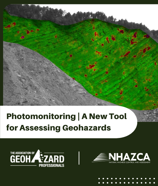
Presently, remote monitoring services are achievable by Satellite InSAR Terrestrial InSAR, Photogrammetry, LIDAR and AMTS. Recently, another solution, Photomonitoring, has been introduced to the market which provides users with another (and sometimes more affordable) option. This presentation will focus on the advantages and limitations of both traditional remote sensing methods and Photomonitoring, with an emphasis on the subject matter. Case histories will be discussed to illustrate Photomonitoring applications using ground-based cameras, drones, and satellite images, in a variety of use cases ranging from slow moving landslides to rockfalls to underground tunnel monitoring.
Meet the Presenter

Dr. Paolo Mazzanti | Professor of Remote Sensing and Geological Risks,
Department of Earth Sciences and CERI Research Center,“Sapienza” University of Rome
Professor of Remote Sensing, Monitoring and Geological Risks at the Department of Earth Sciences, “Sapienza” University of Rome. Author of more than 150 scientific papers & Organizer of the International Course on Geotechnical and Structural Monitoring. Research affiliate at the Colorado Geological Survey. Co-founder, President and CEO of several University Spinoffs. Manager of consulting projects concerning remote sensing monitoring and investigations of tunnels, oil & gas, mining, large infrastructures, landslides and natural slopes in more than 12 countries.